Total Solar Eclipse · May 1, 2079

Fall River

On May 1, 2079, Fall River (United States) lies in the path of totality.

Total
Eclipse type
100.0%
Max obscuration
57m 36s
Max duration
10:05:00 AM
Peak time
Where to watch

Visibility MapFall River

The path of totality crosses Fall River. See the shadow track and totality corridor. Click anywhere on the map to see how the eclipse appears from that location.

Cities in United States →Worldwide · Other Countries
Timeline

Contact Times

Fall River · May 1, 2079

C1 — Partial begins09:36:11 AM UTC
C2 — Totality begins09:36:11 AM UTC
Maximum eclipse10:05:00 AM UTC
C3 — Totality ends10:33:48 AM UTC
C4 — Partial ends10:33:48 AM UTC
Live simulation

Eclipse in motion

Watch the Moon cross the Sun from C1 to C4. Play at speed or scrub through the timeline — during the actual eclipse it tracks live.

Normal sky before eclipse
Sky during total solar eclipse
During eclipse
Normal sky
What you'll experience

Sky Simulation

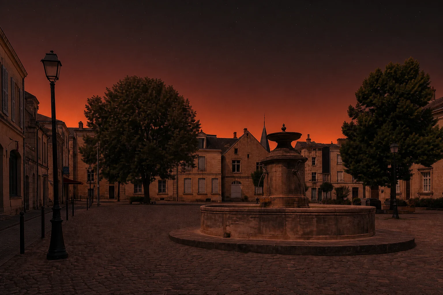
Drag the slider to compare the sky before and during totality. At peak, stars appear at midday and the horizon glows in all directions.

≈ Dusk
Sky darkness
−4°C
Temp. drop
2,900 km/h
Moon speed
🌑 Simulated at totality peak
United States

Cities in United States

Worldwide

Other Countries